Environmental Sciences in Netherlands
The Netherlands offers 30 Environmental Sciences programmes across 8 universities, covering everything from geographic information science to sustainability management. Tuition for listed programmes is roughly €3k per year, making the Netherlands a competitively priced destination in Western Europe for this discipline. Wageningen University & Research, one of the world's top-ranked agricultural and environmental institutions, is among the universities represented in this catalogue.
Tilburg University, the International Institute for Geo-Information Science and Earth Observation, and Rotterdam School of Management are also featured, reflecting a breadth of approaches from quantitative earth observation to business-oriented sustainability. The Netherlands' flat landscape, extensive water-management infrastructure, and position at the nexus of European environmental policy give Environmental Sciences students direct access to real-world case studies. Most programmes are taught in English, and the country's central location makes field work across Europe straightforward.
Circular Cities & Communities
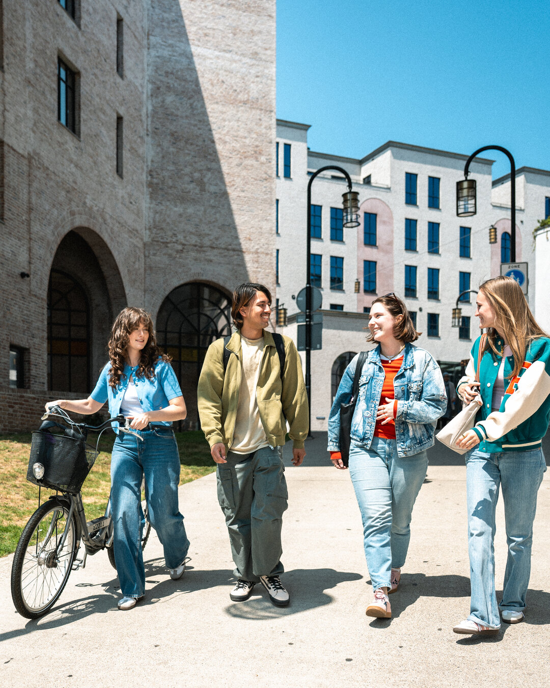
Circular Cities & Communities is an international Bachelor's program focused on the smart use of energy and resources within urban environments. You will learn to develop sustainable solutions, such as utilizing demolition materials in new constructions or using waste heat from data centers to warm homes. The program equips you to advise municipalities and companies on implementing these green and sustainable practices. As the only program in Europe for circular construction experts, it addresses the urgent need for professionals in a world aiming for 100% circularity by 2050. You will study and collaborate with a diverse group of international students and teachers, with all lessons conducted in English.
Developing a framework for assessing the impact of geothermal development phases on ecosystem services
This research proposes a framework to assess the impact of different phases of geothermal energy development on ecosystem services. Geothermal energy is a prioritized renewable energy source in Indonesia due to its availability and low carbon emissions. However, its development often faces challenges, including location in high-risk volcanic areas and potential conflicts with local communities and protected zones. Each stage of geothermal development—exploration, construction, operation, and decommissioning—has distinct environmental effects. This paper aims to spatially measure these impacts using Geographic Information System (GIS) to inform national spatial planning and improve decision-making processes. The study emphasizes the need for an integrated assessment that considers ecological, socio-economic, and cultural factors, moving beyond traditional environmental impact assessments. It highlights the value of the ecosystem services concept in providing a holistic view of environmental benefits and engaging stakeholders in the assessment process.

Earth & Climate
The Earth & Climate program is designed for students passionate about geography and dedicated to ensuring a livable future for our planet. You will gain comprehensive knowledge of soil, water, climate, urban environments, and sustainability. A key focus is on effectively communicating this knowledge through various tools like maps and infographics. This field is experiencing high demand for skilled professionals. Upon graduation, you will be prepared for roles as a policy officer, advisor, or data specialist, contributing to crucial environmental and climate initiatives. This four-year Bachelor's degree is taught in Dutch and located in Almere. It equips you with the practical and analytical skills needed to address complex environmental challenges and make a tangible impact.
Environmental and Social Sciences Programs
This compilation focuses on PhD opportunities related to social and environmental sciences in the Netherlands. These programs often explore the complex interactions between human societies and the natural environment, aiming to find sustainable solutions for pressing global challenges. Research areas can include environmental policy analysis, climate risk modeling, sustainable development, and the assessment of social and environmental impacts.
Essential Biodiversity Variables (EBVs)
Geo-Information Science and Earth Observation (ITC) MSc Program
This Master of Science program focuses on the application of Geo-Information Science and Earth Observation technologies for understanding and managing the Earth's resources and environment. You will gain expertise in acquiring, processing, analyzing, and interpreting spatial data from various sources, including satellite imagery, aerial photography, and ground-based sensors. The program equips you with the skills to address complex challenges in areas such as environmental monitoring, urban planning, natural resource management, and disaster risk reduction. Through a blend of theoretical knowledge and practical application, you will learn to utilize advanced geospatial tools and techniques. The curriculum emphasizes critical thinking and problem-solving, preparing you to contribute to sustainable development and informed decision-making in a data-driven world. This program is designed for students passionate about leveraging technology to explore and manage our planet.
Graduate Research Opportunities in Geo-Information Science and Earth Observation
The lab offers opportunities for postgraduate research, focusing on applied remote sensing and the study of threatened marine, coastal, and terrestrial ecosystems. We are particularly interested in projects related to species movement, migration patterns, and biodiversity status assessments. Prospective students are encouraged to develop their own research ideas or select from a list of potential projects. Opportunities are available for Honours, Masters, and PhD research. The lab also supports candidates applying for competitive research fellowships. For those interested in pursuing graduate research, it is recommended to contact Nicholas Murray with a CV and a brief statement of research interests. Further details on PhD scholarships for both domestic and international candidates can be found on the JCU Graduate Research School website.

Master Duurzaamheidstransities (Master of Sustainability Transitions)
The Master of Sustainability Transitions is designed for professionals passionate about driving real-world change in areas like the energy transition and building sustainable food systems. This program equips you with the skills to initiate, guide, and accelerate transition processes at various levels, from local communities to entire systems. It's a collaborative effort between Hogeschool van Amsterdam (HvA), Hanze University of Applied Sciences Groningen, and Inholland University of Applied Sciences, pooling expertise and practical experience. The curriculum is highly practice-oriented, focusing on current societal challenges. You will develop a deep understanding of transition theories and systemic thinking. From day one, you'll engage with real-world transition issues, collaborating with research groups, governments, businesses, and community organizations. This hands-on approach allows you to research while actively intervening, designing and testing solutions directly in practice. You'll develop broad transdisciplinary skills, learning to navigate diverse interests and work across different scales, while also deepening your expertise in a specific transition theme.
Master of Science in Geo-Information Science and Earth Observation
The Master of Science in Geo-Information Science and Earth Observation is a two-year program focused on utilizing advanced spatial technologies to address global challenges. The program emphasizes the integration of Earth Observation data with other geospatial information to understand and manage environmental and societal issues, particularly within urban environments. It aims to equip students with the skills to analyze complex spatial data for informed decision-making in areas like climate change, urban planning, and resource management.
Master's Programme Geo-information Science and Earth Observation
This Master's programme in Geo-information Science and Earth Observation equips students with advanced knowledge and skills in collecting, processing, analysing, and managing geographic data. The programme focuses on applying these skills to understand and address critical global challenges related to Earth sciences and environmental management. It offers a strong academic orientation and a distinctive international focus, with opportunities for joint education programmes with international partner institutions. The curriculum provides a comprehensive understanding of geo-information technologies and their applications. Students can choose from various specialisations, allowing them to tailor their studies to specific interests within the broad field of geo-information science and earth observation. The programme aims to prepare graduates for impactful careers in research, government, and the private sector, contributing to sustainable development and informed decision-making.
MSc Urban Climate and Sustainability
The MSc Urban Climate and Sustainability program focuses on understanding and addressing the complex interactions between urban environments and climate change. It equips students with the knowledge and skills to develop strategies for more sustainable and resilient cities. The curriculum covers key aspects of urban climatology, environmental management, and sustainable development, preparing graduates for impactful careers in this critical field.
Online Master Sustainability Management
PhD at ITC
PhD Candidate – Remote Sensing of Aquatic Biophysics
This PhD position focuses on an interdisciplinary research project investigating the impact of floating solar panels on the biophysics of aquatic environments. The research aims to understand how these installations affect water quality, and the thermal and gas exchange balances within inland waters. You will use Earth Observation data and process-based modeling to analyze key radiometric and biophysical properties before and after the installation of floating solar panels, determining their influence on lakes. This project integrates Earth Observation with biophysical models and may benefit from data science skills.
PhD Candidate: Understanding and Mapping Social-Ecological System Flows
PhD in Assessment of the spatio-temporal variability of surface-groundwater interactions in the Boteti River Hydrological System (BRHS)
PhD in Designing urban resilience to climate extremes
PhD Position: Climate-Adaptive Design for Historic Urban Landscapes
This PhD position at Delft University of Technology (TU Delft) focuses on developing design strategies and digital tools for climate-resilient historic urban landscapes. The research addresses the challenges faced by historic cities from climate-related risks like flooding and heat stress, which often conflict with heritage preservation. As part of the international PAST-FORWARD project, this role involves interdisciplinary collaboration between institutions in the Netherlands and China to create evidence-based strategies for climate-proofing these unique urban areas while safeguarding their cultural and spatial identity. The research will combine design research, spatial analysis, and stakeholder engagement. It includes case studies and living labs in both countries, testing and refining strategies with researchers, policymakers, and practitioners. The project aims to develop methodologies for data collection, spatial mapping, vulnerability analysis, and climate modelling, contributing to scientific publications and a PhD dissertation.
PhD Positions in Geo-Information Science and Earth Observation
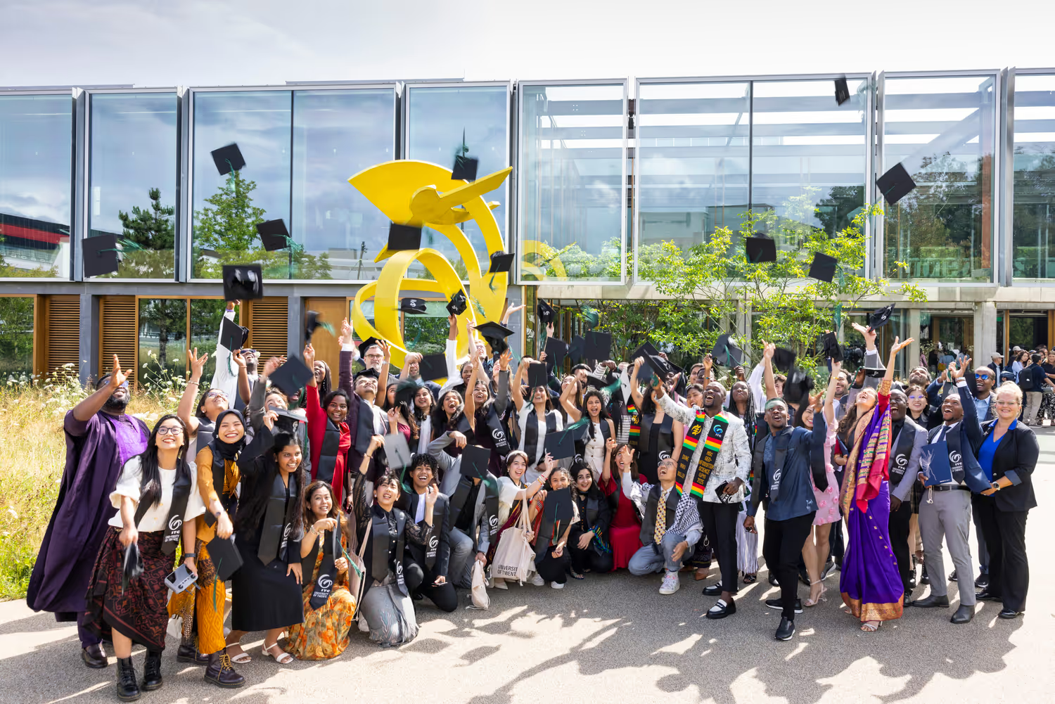
The International Institute for Geo-Information Science and Earth Observation (ITC) at the University of Twente offers six PhD positions for talented candidates interested in geo-information science and earth observation. This program focuses on international knowledge exchange, capacity building, and institutional development, particularly in developing countries and emerging economies. Successful candidates will conduct research aligned with ITC's research themes, contributing to advancements in remote sensing and GIS technologies.
Ragworms Anecdotes
This PhD research focuses on understanding the processes that limit the establishment of saltmarsh ecosystems on tidal flats. Saltmarshes play a crucial role in coastal resilience by attenuating waves and providing flood protection, as highlighted by previous research. This project investigates the challenges faced by pioneer saltmarsh vegetation in establishing on bare tidal flats, with a specific focus on the impact of wave action.
Regional Training Strengthens Flood Forecasting in Central Africa
Floods in Central Africa have increased in frequency and intensity, causing significant damage. In response, the World Meteorological Organization (WMO), in collaboration with the AGRHYMET Regional Center and the Swedish Meteorological and Hydrological Institute (SMHI), is developing and adapting the FANFAR river flood forecasting system. This system aims to enhance the capacity of Central African nations to identify, forecast, and assess flood risks and warnings. The FANFAR system utilizes hydrological modeling of river basins and meteorological forecasts to provide 10-day flood risk information. Recent workshops have focused on improving the management and exchange of hydrometeorological data to support the system's development and operation. Participants from various national and regional organizations are working together to define data exchange protocols and management frameworks, ensuring the system is tailored to the specific needs of Central Africa.
Remote Sensing Techniques for Hydrocarbon Micro-Seepage Detection in Raman Mountain, Turkey
This study investigates the effectiveness of remote sensing (RS) techniques, specifically band ratio (BR) and principal component analysis (PCA), for detecting hydrocarbon micro-seepage in the Raman Mountain area of Turkey. Traditional methods for oil and gas exploration can be time-consuming and costly. RS offers a more efficient alternative, especially in inaccessible terrains. The research utilized Landsat-8 multi-spectral data to identify surface manifestations of hydrocarbon-induced soils and sediments, focusing on areas with heavy oil characteristics (low API gravity and low permeability). The analysis identified areas rich in clay and ferrous iron, which are indicators of hydrocarbon presence. These findings were correlated with existing well data, showing a significant connection between the identified surface anomalies and hydrocarbon deposits. The study successfully demonstrated that RS techniques can reliably detect micro-seepage, even in challenging geological conditions where conventional methods might struggle. This approach supports the integration of RS into hydrocarbon exploration strategies for cost savings and improved efficiency.
Research Centre for Built Environment NoorderRuimte
The Research Centre for Built Environment NoorderRuimte is dedicated to practice-based research focused on the built environment in the Northern Netherlands. Our work is structured around four key themes: Earthquakes, Sustainability, Health & Well-being, and Liveability. We are driven by a shared passion for improving the design of our living spaces for people. Our research environment fosters collaboration among professors of applied sciences, researchers, students, and industry professionals, all working together to address current, real-world challenges in the built environment. In recognition of our commitment to excellence, NoorderRuimte Knowledge Centre was awarded the designation 'excellent' for the second consecutive time during the national assessment in 2025. We bring together expertise across multiple professorships, including Structural Safety & Earthquakes, Sustainable Built Environment, Climate Adaptation, Living Environment in Transition, Facility Management, Healthy Cities, and Real Estate.
Social Protection and Climate Change
Towards Improved Hydro-Meteorological Forecasting of Flash Floods in Africa
Understanding how governance emerges in social-ecological systems: Insights from archetype analysis
This research explores the emergence of governance within social-ecological systems (SESs). It emphasizes that governance arises from the internal dynamics and interdependencies of these systems, rather than being solely an external intervention. By analyzing 60 case studies of irrigation systems in Asia, the study identifies four archetypes of governance: egalitarian, individualist, hierarchical, and fatalist. These archetypes are based on the interplay of social-ecological and infrastructural attributes within the systems. The research provides insights into how specific configurations of attributes lead to different governance outcomes. It also highlights how various social and environmental changes can disrupt the fine-tuning of these attributes. Ultimately, this work aims to contribute to complexity theory by applying concepts of emergence to SESs, offering practical guidance for achieving sustainability.
Frequently asked questions
How much does it cost to study Environmental Sciences in Netherlands?
+
Tuition for listed programmes runs roughly €3k per year. Confirm the exact figure with the institution.
Which universities offer Environmental Sciences in Netherlands?
+
This catalogue includes 8 universities: International Institute for Geo - Information Science and Earth Observation, Wageningen University & Research, Tilburg University, Rotterdam School of Management and 2 more. Browse individual listings to compare programmes and entry requirements.
Can international students apply to Environmental Sciences programmes in Netherlands?
+
Yes — all 8 universities listed accept international applications. Requirements and deadlines differ by institution; contact each university directly for the most current information.
What are typical entry requirements for Environmental Sciences in Netherlands?
+
Entry requirements vary by programme and level. Undergraduate applicants generally need secondary school qualifications equivalent to local standards and proof of English proficiency (for English-taught programmes). Postgraduate applicants typically need a relevant bachelor's degree, strong academic results, and may need standardised test scores or work experience.
How do I apply to Environmental Sciences programmes in Netherlands?
+
Applications are submitted directly to each university. Browse the listings on this page, shortlist programmes that match your background, and follow the application instructions on each university's official website. Some institutions use centralised national application systems, so check whether your chosen university requires that route.